Synopsis:
Spectacular weather is expected through the weekend as high pressure moves in from the Northwest. Abundant sunshine, comfortable readings and low humidity is anticipated. The AC can take a well deserved break!
On Monday through Wednesday maybe unsettled as a low may develop off the coast and meander. The exact placement of this system will determine if the area gets any beneficial rains. The threat of showers and or periods of rain is in the forecast. This is a potential and is not etched in stone. The latest computer guidance has backed off on any significant rain.
Stay tuned.
Keep it here for a no hype, no nonsense forecast.
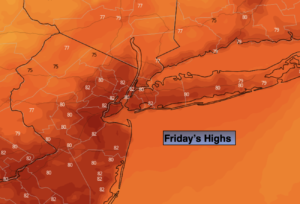
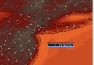
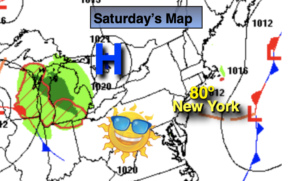
Saturday:
Sunny. Top ten day. Highs around 80º. North winds at 5-10mph.
Tonight:
Clear and comfortable. Great sleeping weather. Lows in the mid 60s in urban areas, the 50s North and West. Light and variable winds.
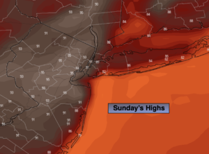
Sunday:
Mostly sunny. Highs in the lower to mid 80s.
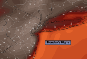
Monday:
Mostly cloudy with the chance of showers. Highs in the upper 70s.
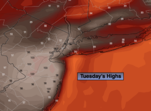
Tuesday:
Mostly cloudy with the chance of showers. Highs in the upper 70s.
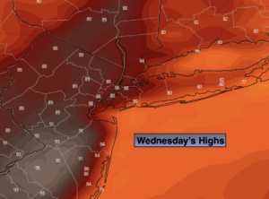
Wednesday:
Mostly cloudy with the chance of showers. Highs in the upper 70s.
Catch me on the Fox Business Network from 6am-9am Saturday for the tropical update around 45 past the hour and on the Fox Weather Stream until 10am. Find us on Tubi, Roku TV and YouTube TV and as always the Fox Weather App. It’s Free!