Synopsis:
Basically what you see is what you get through the end of the week and into the weekend. Weather systems will be weak over the region the majority of the week until high pressure influences the region by Thursday into the weekend.
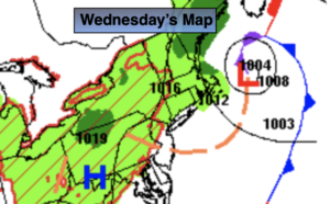
Low pressure over the coastal waters of New England on Wednesday will draw down some cooler air from the North. There will also be enough instability to cause scattered showers later today and this evening. Many areas will remain rain-free.
A mix of sun and clouds is expected through Thursday. Seasonable readings in the lower to mid 80s are anticipated. Humidity levels will be tolerable for August standards.
By the weekend temperatures and humidity will climb to more uncomfortable levels, but nothing out of the ordinary for August under a mix of sun and clouds.
Drought conditions continue to worsen as rainfall deficits are between three and eight inches as of June 1st.
Keep it here for a no hype, no nonsense forecast.
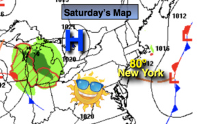
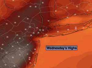
Wednesday:
Sun and clouds. Scattered late afternoon and evening showers. Highs around 80º. North winds at 8-12mph.
Tonight:
A spotty evening shower, otherwise partly cloudy. Lows in the mid 60s in urban areas, the 50s North and West. West to Northwest winds at 5mph.
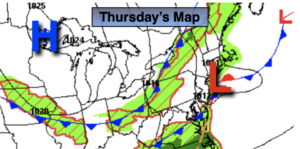
Thursday:
Mostly sunny. Highs in the lower to mid 80s.
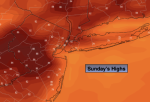
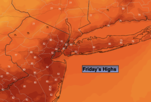
Friday:
Mostly sunny. Highs in the mid 80s.
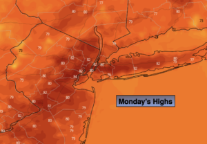
Saturday:
Mostly sunny. Highs in the mid to upper 80s.
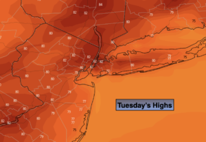
Sunday:
Mostly sunny. More humid. Highs in the mid to upper 80s.
Catch me on the Fox Weather Stream from 10am-1pm on Wednesday. Find us on Tubi, Roku TV and YouTube TV and as always the Fox Weather App. It’s Free!