Synopsis:
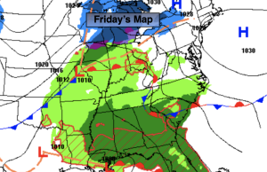
Any coastal rain will end early tonight as low pressure moves out to sea. Behind the departing low on Friday skies will be partly sunny. It’ll be breezy. Temperatures will be near average (the lower to mid 50s).
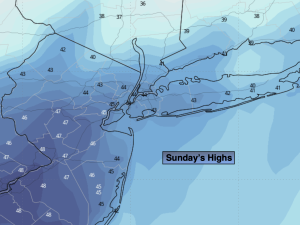
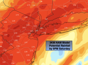
The Easter weekend will start off with sun giving way to clouds on Saturday. A weak disturbance will ride rapidly from West to East Saturday night. A spotty shower is possible. It’s looking like there’ll be dry Easter Bonnets on Sunday. Clouds will give way to sun. Both weekend days will be mild.
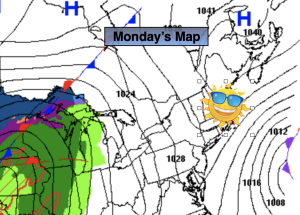
More clouds than sun is expected for Monday as a front will be South of the region.
Rain is likely on Tuesday as low pressure develops to our West and begins to head our way.
Stay tuned.
Keep it here for a no nonsense, no hype forecast.
Tonight:
Coastal rain ends early tonight. Clearing skies. Breezy. Lows in the 30s throughout. Northwest winds at 15-25mph.
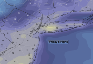
Friday:
Partly sunny. Breezy. Highs in the mid 50s. Northwest winds at 15-25mph.
Saturday:
Sun to clouds. Highs in the upper 50s.
Easter Sunday:
Clouds to sun. Highs around 60º.
Monday:
Mostly cloudy. Highs in the mid 50s.
Tuesday:
Rain likely. Highs around 50º.