Synopsis:
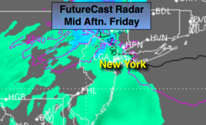
A front will get hung up just offshore for the weekend. Scattered morning showers are likely today but enough dry air should work in from the West to burn off the clouds by afternoon (meaning the sun should shine). This afternoon will be warm.
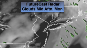
On Sunday a storm will develop over the Ohio valley and ride North into New England by Monday. The day will be mostly cloudy. Spotty showers are likely Sunday. By no means will Sunday be a washout. Rain is likely Sunday night and Monday morning.
Drier conditions are expected later Monday into the midweek period with readings near the seasonal average of 60º.
Keep it here for a no nonsense, no hype forecast.
Today:
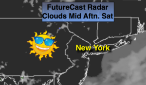
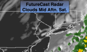
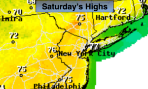
Scattered morning showers, otherwise skies should become partly sunny by afternoon (especially inland). Warmer. Highs in the getting well into the 70s, cooler at the coast. Southwest winds at 8-12mph.
Tonight:
Mostly cloudy. Lows in the lower to mid 50s, the upper 40s well inland. South to East winds under 5mph.
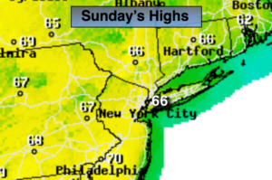
Sunday:
Mostly cloudy. Spotty showers. Highs in the lower to mid 60s.
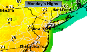
Monday:
Rain likely during the morning. Remaining mostly cloudy. Highs in the mid 60s.
Tuesday:
Partly sunny. Highs in the lower 60s.
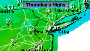
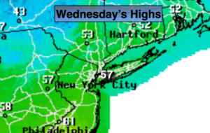
Wednesday:
Partly sunny. Highs in the mid 60s.