Synopsis:
A quick moving disturbance will head our way from the Northwest tonight with increasing clouds and scattered showers later this evening and tonight. The rain will not be heavy and not all areas will get wet.
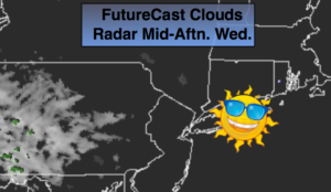
Another high will slip off the New England for Wednesday bring with it plenty of sunshine and seasonal temperatures. A warm from will move toward the region on Thursday bringing with it the possibility of some showers or patchy drizzle. On Friday cool front will be approaching from the West. Ahead of the front a deep Southerly flow will develop. Balmy conditions and scattered showers are expected. Passover begins at Sundown which is at 7:39PM.
A round of steady and heavier rain is possible Friday night and Saturday morning. Where the plume of heavy rain sets up is yet to be determined. The sun should return for a time Saturday afternoon.
Easter Sunday will feature a mix of clouds and sun. A spot shower can’t be ruled out as an upper level low moves over the area.
Keep it here for a no nonsense, no hype forecast.
Stay tuned.
Tonight:
Increasing clouds with areas of light rain developing later this evening and tonight. Lows in the mid 40s in the City, the upper 30s inland. Northwest to Northeast winds diminishing to 5mph.
Wednesday:
Becoming mostly sunny. Highs around 60º. Northeast to Southeast winds at 5-10mph.
Thursday:
Mostly cloudy. Areas of drizzle. Highs in the upper 50s.
Friday:
Mostly cloudy and warm. On and off showers. Highs near 70º.
Saturday:
Morning rain, some afternoon sun. Highs in the mid 60s.
Easter:
Clouds and sun. Spotty showers. Highs in the lower 60s.