Synopsis:
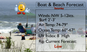
The first weekend of Summer will be spectacular. Sunny skies, warm temperatures and low humidity will be with us as high pressure moves in. Please use sunscreen no matter what your doing outdoors as the UV Index is a very high 8.
Partly sunny and warm conditions will greet us for the beginning of the workweek.
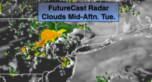
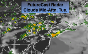
The next threat of showers and storms will be Tuesday as a trough of low pressure moves through.
High pressure will build over the Eastern states for the rest of the week resulting in mostly sunny and warm readings.
Stay tuned.
Keep it here for a no nonsense, no hype forecast.
Today:
Sunny. Low humidity. Highs in the lower 80s. Northwest winds at 8-15mph.
Tonight:
Clear and comfortable. Lows in the mid 60s in urban areas, the 50s inland. Northwest winds at 5mph.
Sunday:
Mostly sunny. Highs in the mid 80s.
Monday:
Partly sunny. Highs in the mid 80s.
Tuesday:
Mostly cloudy and humid. Scattered showers and storms. Highs in the lower 80s.
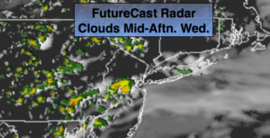
Wednesday:
Partly sunny and warm. Highs in the mid 80s.