Synopsis:
The weather will cooperate for Memorial Day Holiday Weekend. No major systems look to affect the region through Monday. High pressure will be nearby. The only chance of showers and storms will be tonight with a system moving through from the West.
Temperatures will be at or above average with a mix of sun and clouds. Today and Memorial Day will be gems. The Summer-like day will be Sunday (it’ll be a bit more uncomfortable).
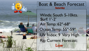
For those hitting the beach please don’t forget to slather on the sunscreen. The UV index is a very high 9. If you are fair skinned you will burn within 15 minutes without protection. I wouldn’t stick my big toe in the ocean as the water temperatures are only in the 50s.
Have a safe, happy Holiday!
Keep it here for a no nonsense, no hype forecast.
Stay tuned.
Today:
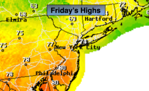
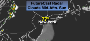
Mostly sunny. Highs in the lower 70s. South winds at 8-12mph.
Tonight:
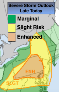
Scattered early showers and storms, otherwise partly cloudy. Lows in the lower to mid 60s. West winds at 5-10mph.
Sunday:
Partly sunny, warmer and more humid. Highs in the upper 80s.
Memorial Day:
Mostly sunny, less humid. Highs around 80º.
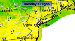
Tuesday:
Sun and clouds. Scattered showers and storms. Highs around 80º.
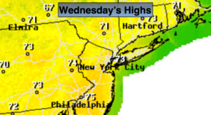
Wednesday:
Partly sunny, warm. Highs in the mid 80s.