Synopsis:
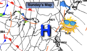
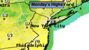
A Bermuda High will be responsible for May-like readings today. Temperatures will flirt with 70º under sunny skies. The record will stand for today which is 77º set in 2016.
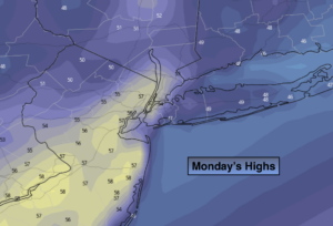
Very mild readings will continue for Tuesday ahead of an approaching front. Sun will give way to clouds and showers later in the day.
Above average temperatures will continue through the end of the week. Wednesday and Thursday will feature sun and clouds.
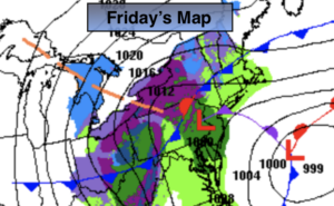
By Friday a cool front will approach the area. Sun will give way to clouds and afternoon showers. It’ll be balmy.
Spring officially arrives on March 19th.
Stay Tuned.
Keep it here for a no nonsense, no hype forecast.
Today:
Sunny and warm. Highs in the 60s to around 70º. Southwest winds at 8-12mph.
Tonight:
Mostly clear. Lows will be above the average high for the date! Lows in the lower 50s in the City, the 40s inland. Southwest winds at 5mph.
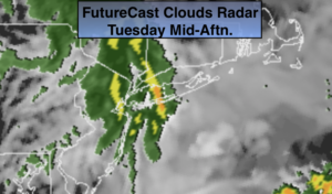
Tuesday:
Sun giving way to clouds. Afternoon showers likely. Highs in the mid 60s.
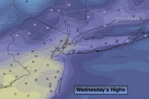
Wednesday:
Partly sunny and mild. Highs in the mid to upper 50s.
Thursday:
Partly sunny. Highs in the lower to mid 50s.
Friday:
Sun to clouds. Very mild. Showers likely during the late afternoon. Highs around 60º.