Synopsis:
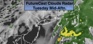
St. Patrick’s Day will start off damp with scattered showers. It will not be a total washout as skies will brighten during the afternoon as a weak front moves offshore. It’ll be mild.
Wednesday will be sunny as high pressure moves toward the Northeast from Canada.
Another round of showers are possible Thursday, the first day of Spring. The vernal equinox occurs at 11:50PM EDT.
Much warmer conditions are expected by Friday with readings getting into the lower 70s with a Southwest wind. Showers are possible during the afternoon with an approaching cool front.
Bright and cooler weather will greet us for the weekend.
Stay Tuned.
Keep it here for a no nonsense, no hype forecast.
St. Patrick’s Day:
Mostly cloudy with a chance of showers in the morning. Skies may brighten during the afternoon. Highs in the mid 50s. Southeast to West winds at 5-10mph.
Tonight:
Clear and chilly. Lows around 40º in the City, the upper 20’s and 30’s inland. Northwest winds at 5mph.
Wednesday:
Sunny. Highs in the mid 50s.
Thursday:
Morning rain, otherwise the sun should make an appearance during the afternoon. Milder. Highs around 60º.
Friday:
Sun and clouds. Balmy. Slight chance of a shower. Highs in the lower 70s.
Saturday:
Mostly sunny. Cooler. Highs in the lower 50s.
***Please take “social distancing” seriously during this time. We will get through this.****