Synopsis:
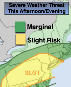
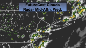
An upper level low over the Northeast will influence our weather through today. The clouds will tend to dominate. This will result in lower temperatures (below the average high of 83º). The threat of scattered showers and isolated storms will be us during the afternoon and evening. Like yesterday, not everyone will get in on the action.
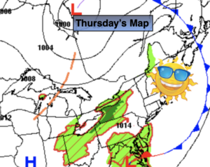
On Thursday, the system will dissipate and move off the coast. A brighter and warmer day is expected. Friday will be hot and humid. A weak front will work down from New England. This will spark scattered storms later in the afternoon.
The weather will cooperate for the 4 of July Weekend. It’ll be bright and warm as weak high pressure develops off the Northeast coast.
Stay Tuned.
Keep it here for a no nonsense, no hype forecast.
Today:
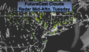
Clouds, some sun. Scattered showers and isolated storms. Highs around 80º. Northeast to Southeast winds at 5mph.
Tonight:
An evening spotty shower or storm, otherwise partly cloudy. Lows in the 60s throughout. Northwest winds at 5mph.
Thursday:
Mostly sunny. Warmer. Highs in the upper 80s.
Friday:
Hazy, hot and humid. Scattered PM Storms. Highs around 90º.
4th of July:
Mostly sunny. Highs in the mid 80s.
Sunday:
Mostly sunny. Highs in the mid 80s.