Synopsis:
High pressure will be in control of our weather until further notice. This will result is bright, comfortable days and mainly clear, cool nights.
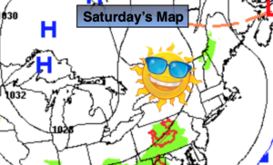
This weekend will be memorable. Abundant sunshine is expected both days with highs actually several degrees below the average of 79º. Sunday is Flag Day and she will fly with a sunny sky.
The beginning and middle portion will feature mainly sunny skies with slowly moderating temperatures as the area of high pressure moves off the Northeast coast. Enjoy!
Stay Tuned.
Keep it here for a no nonsense, no hype forecast.
Today:
Sunny. Cooler. Highs in the mid 70s. North winds at 5-10mph.
Tonight:
Mostly clear and cool. Lows in the mid and upper 50s in the City, the 40s inland. North winds at 5-10mph.
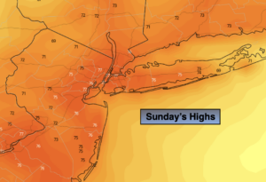
Sunday:
Mostly sunny. Unseasonably Cool. Highs in the lower 70s.
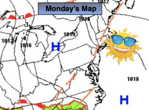
Monday:
Sunny. Highs in the mid 70s.
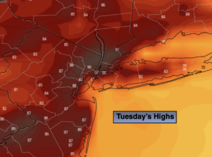
Tuesday:
Mostly sunny. Highs in the upper 70s.
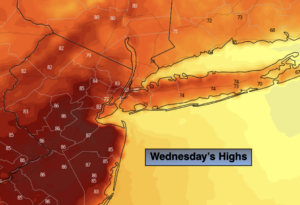
Wednesday:
Partly sunny. Highs around 80º.