Synopsis:
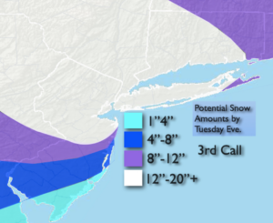
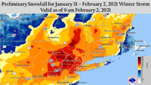
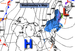
The major snowstorm has affected much of the tri-state (with the exception of Southern NJ) will finally pull off our coast today. The jackpot zone for Biblical snow amounts was North and West of the City where 20″-30″ of snow fell in many areas (1st map above).
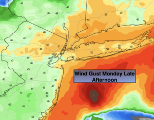
Any flurries this morning will taper off today . Clouds will dominate; although there should be some peeks of sun. Temperatures will get above freezing, despite the gusty wind.
Milder conditions and snowmelt is expected Thursday and Friday. Rain is likely Friday with an approaching front. A mix is possible at the onset, but all areas will go over to rain.
Looking ahead it will get colder this weekend. Saturday will be partly sunny. Believe it or not, all eyes will be on a developing coastal storm for Sunday. The latest computer guidance has the storm missing us, but there is a low potential it may affect the region.
Stay Tuned.
Keep it here for a nonsense, no hype forecast.
Today:
Chance of morning snow showers, otherwise cloudy with peeks of sun. Breezy. Highs in the mid 30s. Northwest winds at 15-25mph with higher gusts.
Tonight:
Mostly cloudy. A refreeze is expected with icy spots. Diminishing winds. Lows in the 20s throughout. Northwest winds at 8-12mph.
Thursday:
Mostly sunny. Milder . Highs in the lower 40s.
Friday:
Mostly cloudy. A mix to rain. Highs in the lower 40s.
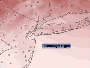
Saturday:
Partly sunny. Colder.. Highs in the mid 30s.
Sunday:
Partly sunny (keeping it storm-free as of this writing). Highs in the mid 30s.