Synopsis:
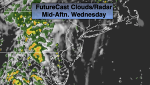
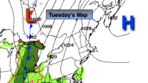
The front that gave many areas heavy rain the last 24 hours is pushing off the coast this morning. Any showers East will give way to sunny skies. Relief has arrived from the high humidity and it will feel the season- Fall.
Tonight will be crisp and cool. No need for the AC!
The first weekend of autumn looks delightful as high pressure over the Southeast results in seasonal sunshine both days. Readings will be near the average high of 74º.
Bright, comfortable conditions are expected into the beginning of the week with no storms in sight as a Westerly flow prevails.
Stay tuned.
Friday:
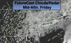
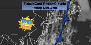
Early morning showers East will give way to sunny skies. Cooler and much less humid. Highs in the lower 70s. Northwest winds at 5-10mph.
Tonight:
Clear and crisp. Lows in the upper 50s in the City, the 40s and 50s inland. Northwest less than 5mph.
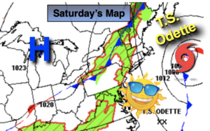
Saturday:
Sunny. Highs in the mid 70s.
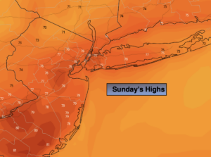
Sunday:
Mostly sunny. Breezy. Highs in the lower 70s.
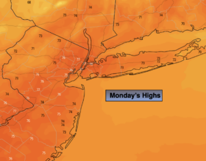
Monday:
Mostly sunny. Highs in the lower 70s.
Tuesday:
Mostly sunny. Highs in the mid 70s.