Synopsis:
The wind will be the story the next few days. Strong low pressure over Eastern Canada and intensifying high pressure moving into the Southeast will cause the brisk conditions.
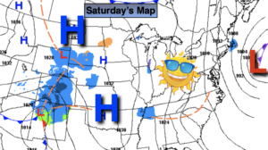
MLK day and Tuesday will be chilly under a mix of sun and clouds. Readings will be around or just above seasonal averages as high pressure settles over the Southeast.
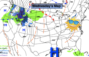
A cold front will swing though early Wednesday morning with nothing more than an early flurry. Readings will for a change be below average by a couple of degrees under mainly sunny skies.
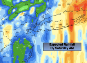
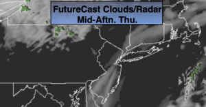
A weak disturbance will move through Thursday with more clouds.
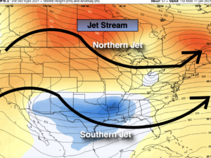
Looking down the pike, the jet stream is in a zonal flow. This results in little in the way of storm formation- meaning the wait for a decent snow continues. An incredibly boring weather pattern for this meteorologist.
Stay Tuned.
Keep it here for a no nonsense, no hype forecast.
Today (The Reverend Dr. Martin Luther King Jr. Day):
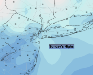
Sun and clouds. Breezy. Scattered mid to late afternoon flurries. Highs in the lower to mid 40s. West winds at 10-20mph.
Tonight:
Partly cloudy. Lows around freezing in the City, the 20s inland. West winds at 8-12mph.
Tuesday:
Partly sunny. Breezy. Highs in the lower 40s.
Wednesday:
Mostly sunny, breezy and colder. Highs in the mid 30s.
Thursday:
Mostly cloudy. Highs in the upper 30s.
Friday:
Partly sunny. Highs in the lower 40s.