Synopsis:
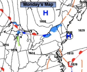
Monday will feature a trough of low pressure extending into our area from a developing offshore storm. The potential of light rain, light wet snow, sleet, and light freezing rain exists throughout the day. Coastal areas will mainly be liquid. There will be dry times. It shouldn’t amount to much with temperatures above freezing.
The storm will come a bit closer to the coast tonight on its way North. A period of rain is likely for most of the region. The Northwestern fringe of this could be wet snow or sleet. Well North and West it will be mainly dry as the precipitation shield won’t get that far inland.
The storm will move well off our coast on Tuesday, any clouds will give way to some sun.
Bright and tranquil conditions are expected for midweek to late as weak high pressure dominates. Temperatures will be above the average high of 40º. A nice stretch for February!
Stay tuned.
Monday:
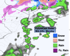
Cloudy with a bit of light rain, light wet snow, sleet or freezing rain. Highs in the upper 30s (lower 30s well inland). Northeast winds at 5-10mph.
Tonight:
Rain for most areas. Wet snow and or sleet may fall for a time inland. Lows in the mid 30s in urban areas, the 20s North and West. North wind at 5-10mph.
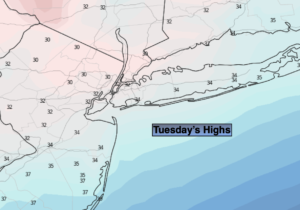
Tuesday:
Clouds and sun. Highs in the lower 40s.
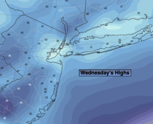
Wednesday:
Partly sunny. Highs in the lower 40s.
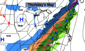
Thursday:
Partly sunny. Milder. Highs in the mid 40s.
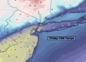
Friday:
Partly sunny. Mild. Highs in the mid 40s.