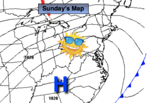
Synopsis:
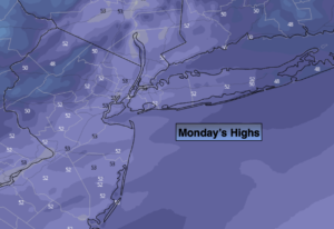
Monday will be bright and chilly as the high moves over the region. Temperatures will be a few degrees below the average high of 43º.
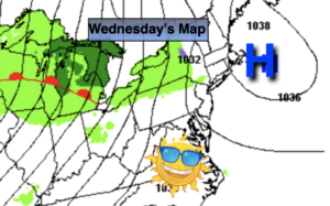
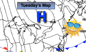
Winter’s arrival on Tuesday will be a seasonal one. Abundant sunshine is expected as high pressure remains in control. Not much will change for Wednesday and Thursday. A storm will move up and well off the coast.
It looks like we’ll have to wait another year for the possibility of a white Christmas. Christmas Eve will feature bright skies with readings above average. Christmas Day looks mild with a chance of a shower. I’m just the messenger!
Stay tuned..
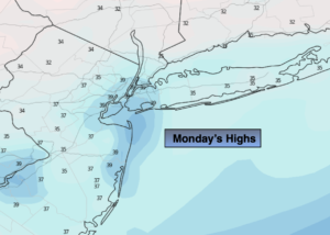
Monday:
Sunny. Chilly. Highs in the upper 30s to around 40º. North to Southwest winds at 5mph.
Tonight:
Clear and cold. Lows around freezing along the coast, the teens and 20s inland. Southwest winds at 5mph.
Tuesday:
Sunny. Seasonal. Highs in the mid 40s.
Wednesday:
Partly sunny. Highs in the mid to upper 40s.
Thursday:
Sunny. Highs in the lower 40s.
Christmas Eve:
Partly sunny. Highs in the mid 40s.