Synopsis:
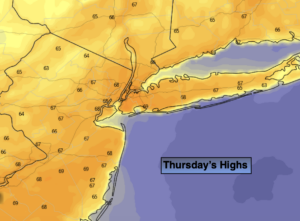
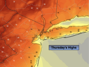
High pressure East of New England has pushed much cooler air into the region. The result will be much cooler readings for today and Friday. Temperatures will still be at or just above seasonal levels (the lower 70s). Well to the east readings will be below average due to the influence of an ocean breeze off the chilly Atlantic. Well to the West readings will be the warmest. The push of cool air will stall over Western sections. A mix of sun and clouds is expected both days.
By the weekend, the cool front will washout and the warmer air just to our West will once again return. Saturday and Sunday will feature a mix of sun and clouds. Sunday will be quite warm with the Summer feel retuning.
Keep it here for a no nonsense, no hype forecast.
Today:
Mostly sunny. Much cooler. Highs in the mid 70s in the City. Cooler to the East, warmer to the West. Southeast winds at 5-10mph.
Tonight:
Partly cloudy. Lows in the mid to upper 50s in the City, the upper 40s & 50s inland. Southeast to East winds less than 5mph.
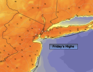
Friday:
Partly sunny. Highs in the mid 70s. Cooler over Eastern areas, warmer over Western areas.
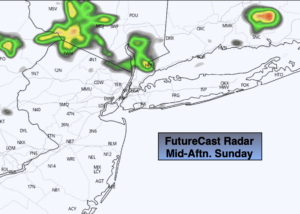
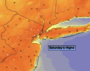
Saturday:
Sun & Clouds. Warmer. Highs around 80º.
Sunday:
Sun & Clouds. Much warmer. Highs in the upper 80s.
Monday:
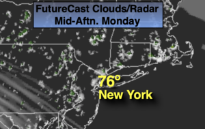
Sunny. Seasonal. Highs in the mid 70s.