Synopsis:
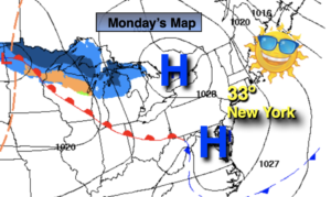
The record breaking warmth that many areas experienced today will give way to more seasonal readings the next 24 hours.
Rain will develop this evening with the passage of the front. A spotty storm can’t be ruled out.
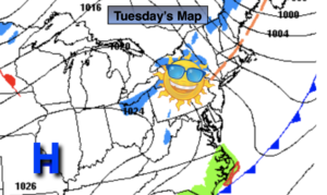
There will be no Arctic air with this front. Tuesday will be mainly sunny and brisk with readings around the average high of the upper 40s.
On Wednesday a low will develop along the Virginia coast and move Northeast. All of the computer models have come into agreement. A period of wet snow is now likely during the morning into the mid-afternoon hours. A mix with rain or all rain is likely parts of the region by the coast. There could be an accumulation on colder surfaces. Snowfall amounts will be given by tomorrow morning if need be.
Thursday and Friday will feature high pressure dominating the Northeast. A mix of sun and clouds is expected with seasonal readings.
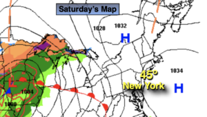
On Saturday a potent cold front will move toward the East coast. Ahead of the front it will be balmy with a period of rain and wind likely.
Stay tuned.
Keep it here for a no hype, no nonsense forecast.
Catch me on the Fox Weather Stream/App from 2pm-5pm through Wednesday…
Tonight:
Rain and thundershowers. Lows in the lower 40s in the City, the upper 30s inland. West to Northwest winds at 15-30mph with gusts to 40mph. Winds will diminish after midnight.
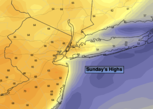
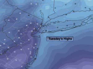
Tuesday:
Mostly sunny. Mild. Highs around 50º. Northwest winds at 10-20mph and diminishing.
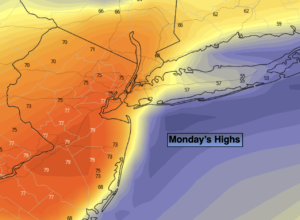
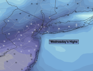
Wednesday:
Potential for a period of wet snow. Rain or a mix of rain and snow is possible to the South and along some coastal areas. Highs in the 30s to around 40º.
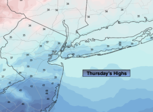
Thursday:
Partly sunny. Highs around 50º.
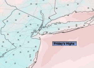
Friday:
Partly sunny. Highs around 50º.
Saturday:
A period of rain. Windy and warm. Highs around 60º.