Synopsis:
A storm well off the Mid-Atlantic coast this morning will cause snow to fall through mid-morning for parts of the coast and especially Long Island. Parts of Central & Eastern Long Island may see anywhere from a coating to 4″ in spots. This band of steady snow will move offshore by mid to late morning.
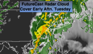
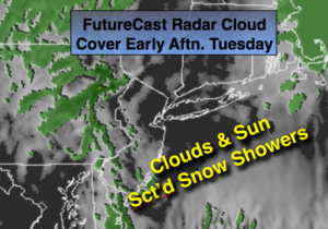
A dynamic jet stream will move into the this afternoon. Snow showers are in the forecast, not from the offshore low, but a trough of low pressure extending to the West of the departing storm. There will be a mix of sun and clouds. The scattered snow showers are likely later in the day.
Tranquil conditions are expected Wednesday as high pressure moves overhead.
Another front with a weak developing area of low pressure will move to the Eastern Seaboard. Rain and snow will likely develop Thursday night and then end as a possible period of snow Friday Morning. Many days to watch how this unfolds, but at this time it doesn’t look significant.
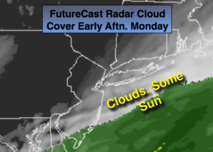
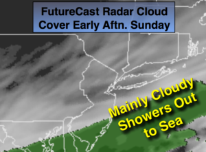
Much colder times are ahead this weekend. An area of moisture over the Southeast with an area of low pressure looks to slide just to our South later Super Bowl Sunday and Monday.
Stay tuned.
Today:
Early snow at the coast and especially Long Island. Clouds and sun. Scattered PM snow showers. Highs in the mid 30s. North to Northwest winds at 8-12mph.
Tonight:
Becoming mostly clear. Colder. Lows in the lower 20s in the City, the teens inland. Northwest winds at 10-15mph.
Wednesday:
Mostly sunny and cold. Highs in the mid 30s.
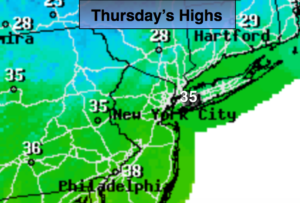
Thursday:
Sun to clouds. Highs in the lower 40s.
Friday:
Threat of morning snow. Becoming partly sunny. Highs in the mid 30s.
Saturday:
Sunny and cold. Highs around 30º.
Keep it here for a no nonsense, no hype forecast.