Synopsis:
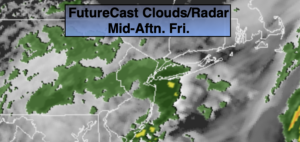
Low pressure will move from Washington DC to East of NJ by this Evening. On and off rain is expected. Temperatures will be chilly-more than ten degrees below the average of high of the lower 60s.
Any evening showers will taper off and skies will become partly cloudy overnight.
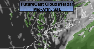
We’ll squeeze out a dry Saturday as we’ll be in between systems. Abundant sunshine and seasonable temperatures are expected as high pressure moves over the region.
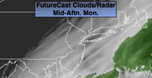
A Sunday spoiler is on the way with more rain in the forecast for the second half of the weekend as another low moves in a similar track to it’s predecessor. Monday won’t be much better as scattered showers are in the forecast with backside of the low affecting the region.
One to two inches of rain can be expected with the two rainmakers.
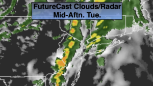
Tuesday will be sunny as high pressure settles over the East coast.
Stay Tuned.
Keep it here for a no nonsense, no hype forecast.
Today:
On and off rain. Cool. Highs in the lower 50s. Northeast winds at 8-12mph.
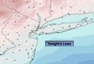
Tonight:
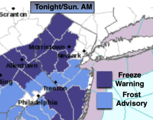
Scattered evening showers, otherwise becoming partly cloudy. Lows in the lower 40s in the City, the 30s to around 40º inland. North to West wind at 5mph.
Saturday:
Mostly sunny. Highs in the lower 60s.
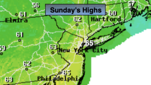
Sunday:
Rain likely. Highs in the lower to mid 50s.
Monday:
Mostly cloudy with scattered showers. Highs in the mid 50s.
Tuesday:
Mostly sunny. Highs in the lower 60s.