Synopsis:
The thinking that the majority of the week being rain-free continues. It was earlier thought to be unsettled with a combination of many weather systems affecting the tri-state area. The latest computer models continue to be in agreement that the upper level low will be much farther South and West of our area. Tropical Storm Arthur will ride up and off the Eastern Seaboard and strong high pressure over Southeastern Canada will now move over the Northeast. All of this will result in a fairly pleasant stretch at least through Thursday. A mix of sun and clouds is expected with cooler than average temperatures (the average high is 71º). By Friday, the remains of the upper low may throw a few showers our way.
Stay Tuned.
Keep it here for a no nonsense, no hype forecast.
Today:
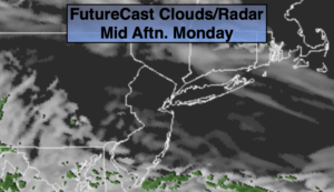
Clouds and sun. Highs in the upper 60s. East to Northeast winds at 10-15mph with gusts to 20mph.
Tonight:
Mostly cloudy. Lows around 50º in the City. The upper 40s inland. Northeast winds at 10-20mph with gusts to 30mph along the coast.
Tuesday:
Sun and clouds. Cool. Highs in the lower to mid 60s.
Wednesday:
Sun and clouds. Highs in the lower 60s.
Thursday:
Mostly sunny. Highs in the mid 60s.
Friday:
Mostly cloudy with a chance of showers. Warmer. Highs in the lower 70s.