Synopsis:
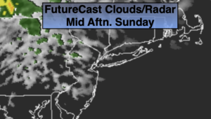
Today will be the cooler and cloudier half of the weekend as high pressure over the Northeast moves offshore and a wind off the cooler Atlantic takes hold. It looks like the clouds will win the battle with the sun today.
A major change in the forecast has taken place for the upcoming week and its for the better. It was thought to be unsettled with a combination of many weather systems affecting the tri-state area. The latest computer models are in a agreement that the upper level low will be much farther South and West then previously positioned. Tropical Storm Arthur will ride up and off the Eastern Seaboard and strong high pressure over Southeastern Canada will now move over the Northeast. All of this will result in a high potential of it being rain-free through midweek. A mix of sun and clouds is expected with cooler than average temperatures (the average high is 71º). By Thursday, the remains of the upper low may throw a few showers our way.
Stay Tuned.
Keep it here for a no nonsense, no hype forecast.
Today:
Clouds, some sun. Cooler. Highs in the mid to upper 60s. East to Southeast winds at 5-10mph.
Tonight:
Mostly cloudy. Lows 50º-55º. East winds less than 5mph.
Monday:
Clouds and sun. Highs in the mid 60s.
Tuesday:
Sun and clouds. Cool. Highs in the lower to mid 60s.
Wednesday:
Sun and clouds. Highs in the lower 60s.
Thursday:
Mostly cloudy with a chance of showers. Highs in the mid 60s.