Synopsis:
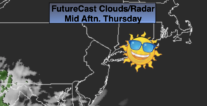
Strong high pressure will dominate the Northeast through today. This will result in a pleasant readings with abundant sunshine. Temperatures will be slightly below average high of 72º.
Clouds will roll in from the South tonight.
Sunshine will be limited Friday morning, otherwise clouds will thicken. Scattered showers are likely later in the afternoon as a weak low moves our way from the South.
On Saturday, the remains of the weak low will move over our area resulting in scattered showers. Sunday will be the brighter of the two weekend days with plenty of sunshine and near seasonal temperatures as high pressure noses in from the North and East.
Stay Tuned.
Keep it here for a no nonsense, no hype forecast.
Today:
Sunny. Highs in the mid to upper 60s. East to Southeast winds at 5-10mph.
Tonight:
Clear early, becoming mostly cloudy late. Lows in the mid 50s in the City. The 40s inland. South winds under 5mph.
Friday:
Mostly cloudy. Showers likely during the afternoon. Highs around 70º.
Saturday:
Mostly cloudy with a chance of showers. Highs around 70º.
Sunday:
Mostly sunny. Highs in the upper 60s.
Monday:
Mostly sunny. Highs near 70º.