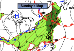
Synopsis:
The Summer Solstice occurred at 5:14am EDT Tuesday. Thats the exact time that the sun’s direct rays were over the Tropic of Cancer-the farthest Northern latitude of the year. A warm front will be approaching. Any sun will give way to clouds. Isolated showers are possible. Readings will be several degrees below the average high of 81.
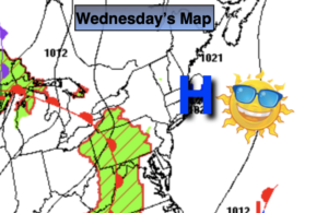
The warm front looks to get hung up over the region Wednesday. Scattered showers are possible just about anytime along with a few late day and evening storms.
Any morning showers on Thursday morning should give way to partly sunny skies by mid afternoon.
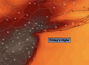
Friday will be a winner with plenty of sun and seasonable readings as high pressure builds into the region.
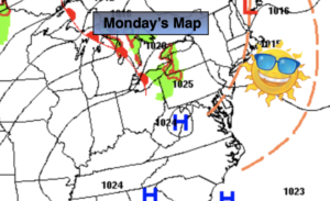
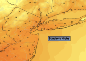
A bright, warm start is anticipated for the weekend.
Stay tuned.
Keep it here for a no hype, no nonsense forecast.
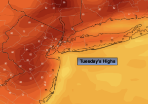
Tuesday:
Sun and clouds with isolated showers possible during the afternoon. Highs in the mid 70s. North to East winds at 5mph.
Tonight:
Scattered showers. Lows in the lower to mid 60s throughout. Southeast winds less than 5mph.
Wednesday:
Mostly cloudy. Scattered showers and possible late day storms. Highs in the lower 70s.
Thursday:
Early showers to sun and clouds. Highs in the upper 70s.
Friday:
Sunny. Highs in the lower 80s.
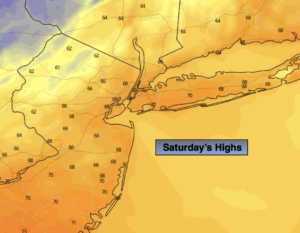
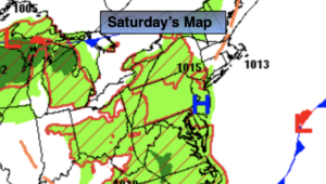
Saturday:
Sunny. Highs in the mid 80s.
Catch me on the Fox Weather Stream from 10am-1pm Monday. Find us on Tubi, Roku TV and YouTube TV and as always the Fox Weather App. It’s Free!