Synopsis:
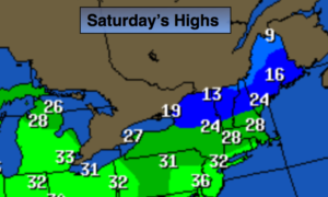
The weekend forecast will continue to reminds us that it’s January. Today will start off with early morning sun but clouds roll in during the mid to late morning hours. Highs will be near freezing.
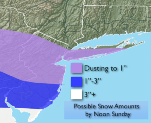
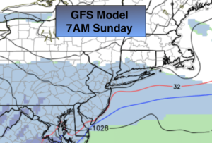
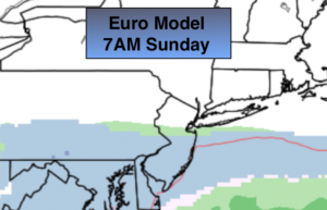
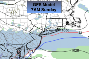
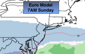
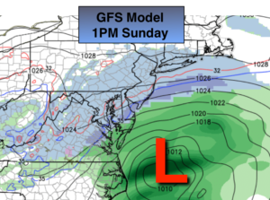
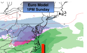
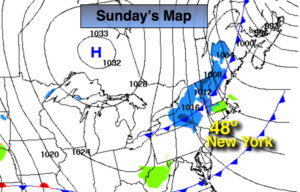
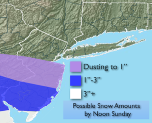
The potential for light snow or snow showers remains for tonight and Sunday morning from the City and to the South. Areas North of the City may not see a flake. The low never becomes strong until it’s way off the coast. The Northern and Southern jet do not phase and are progressive; but what happens is there’s enough energy from both streams to produce some light snow or flurries across Central and Southern areas tonight and Sunday morning. The light snow shield may brush the NYC vicinity. The airmass will be very dry so how much light snow falls remains to be seen. It maybe just a few snow showers. Areas to the North of the City and including the City may not see any snow. Southern NJ will be the jackpot zone for snow. The possible snow amounts are above. The sun will return Sunday.
The workweek will be bright and not as cold.
You know where to find a no hype, no nonsense forecast.
Stay tuned.
Today:
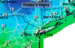
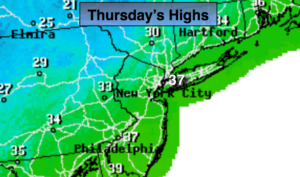
Sun to afternoon clouds. Cold. Highs around freezing. Northwest winds at 5mph.
Tonight:
Mostly cloudy North. A bit of light snow, snow showers or flurries from the City and to the South. Lows in the mid 20s in the City, the teens inland. Northwest to North winds at 5mph.
Sunday:
Potential for light snow or snow showers in the morning South of the City, otherwise clouds will give way to sun. Highs in the mid 30s.
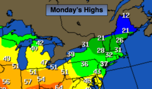
Monday:
Mostly sunny. Highs in the mid 30s.
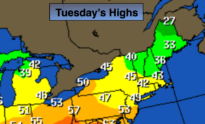
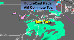
Tuesday:
Sunny. Highs around 40º.
Wednesday:
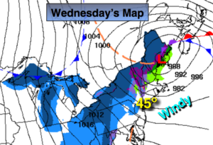
Partly sunny. Highs in the lower 40s.