Synopsis:
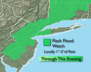
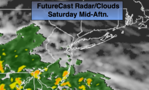
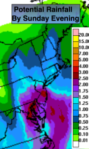
I’d like to start off by saying the weekend will not be a washout. Today should feature morning sun giving way to clouds. An area of low pressure will move up the coast from the Carolina’s later Saturday and Saturday night. Showers will move from South to North Saturday afternoon, most areas near the City and to the North will remain dry through sunset. The best potential of steady and heavier rain will be tonight into Sunday morning. As the low pulls away Sunday some sun is expected. Scattered showers and storms are possible during the afternoon. It will not be a washout. One to two inches of rain is possible with locally higher amounts by late day Sunday (second map above). A Flash Flood Watch has been posted for Ocean and Mercer counties.
An upper level low will move into the Appalachians Sunday through the beginning of the week. At the same time, a strong high pressure system will be over the Western Atlantic. This will result in a deep Southerly flow of tropical air. Scattered showers and storms are possible. Some of the rain maybe heavy. It’ll be warm and very humid.
Stay tuned.
Today:
Sun giving way to afternoon clouds. Showers are possible later in the day, especially South of the City. Highs in the upper 70s. East winds increasing 10-20mph with higher gusts, especially at the coast.
Tonight:
Cloudy with periods of rain and a few thunderstorms. Locally heavy rain. Lows in the 60s throughout. East wind 10-20mph with gusts to 35mph at the coast.
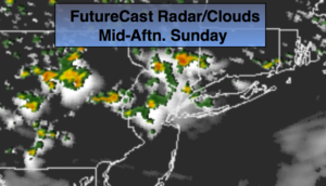
Sunday:
Scattered areas of showers and storms, otherwise sun and clouds. Warm and humid. The afternoon will not be a washout. Highs mid 80s.
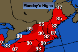
Monday:
Hazy, warm and humid with scattered storms. Highs mid 80s.
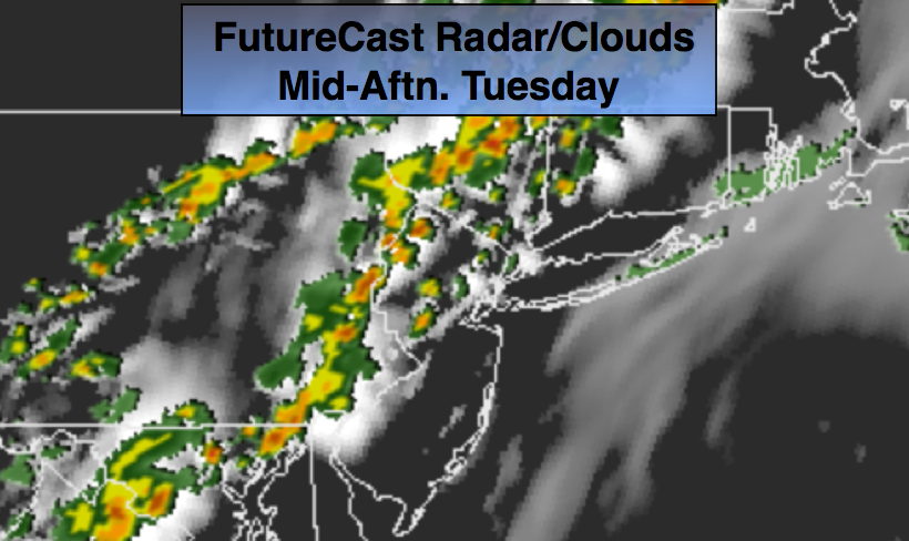
Tuesday:
Hazy, warm and humid with scattered storms. Highs mid 80s.
Wednesday:
Hazy, warm and humid with scattered storms. Highs mid 80s.
Keep it here for a no nonsense, no hype forecast.