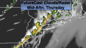
Synopsis:
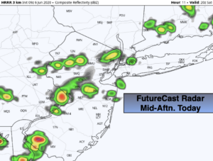
A cool front will approach today with scattered showers and isolated storms. Locally heavy rainfall is possible. The sun may return later in the day over Western areas. Temperatures will be near the seasonal average of 79º.
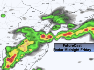
Leftover showers or storms will end early tonight over Eastern areas, otherwise skies will become mostly clear. It will be much cooler and less humid.
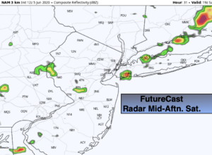
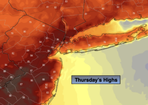
The sun will return on Friday along with warm temperatures. The weekend looks decent with tolerable temperatures and humidity under a mix of sun and clouds as high pressure noses in from Canada.
Stay Tuned.
Keep it here for a no nonsense, no hype forecast.
Today:
Mostly cloudy. Humid. Chance of showers and isolated storms. Highs around 80º. South winds at 8-15mph.
Tonight:
Scattered showers and storms early over Eastern areas, otherwise becoming mostly clear, cooler and less humid. Lows in the mid 60s in the City, the 50s inland. Winds becoming North at 5mph.
Friday:
Mostly sunny. Warm. Low humidity. Highs in the lower to mid 80s.
Saturday:
Mostly sunny. Highs around 80º.
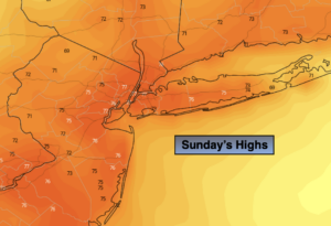
Sunday:
Partly sunny. Highs in the upper 70s.
Monday:
Mostly cloudy with scattered showers. Highs in the mid 70s.