Synopsis:
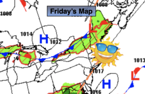
On and off showers and storms are expected today as a cool front approaches and the remnants of tropical system Laura pass to our South. Local downpours are possible and some of the storms maybe strong. It will remain humid.
Any showers or storms will end this evening. Skies will clear and it will become cooler and less humid.
Sunday will be the better half of the weekend with a refreshing Northwest wind and mostly sunny skies.
High pressure will move in for the beginning of the week. Monday will be mainly sunny with readings a few degrees below the average high of 82º. A disturbance will affect the region on Tuesday with scattered showers and storms. Wednesday should feature dry conditions under a mix of clouds and sun.
The heat looks to take a hiatus the next several days.
Stay Tuned.
Keep it here for a no nonsense, no hype forecast.
Today:
Mainly cloudy and humid. On and off showers and storms with local downpours. Highs in the upper 70s. Southwest winds at 8-12mph.
Tonight:
Early evening spotty shower or storm, otherwise becoming mostly clear. Cooler and much less humid. Lows in the mid 60s in the City, the upper 50s inland. Winds becoming Northwest at 10-20mph.
Sunday:
Mostly sunny and less humid. Highs around 80º.
Monday:
Mostly sunny. Low humidity. Highs in the upper 70s.
Tuesday:
Sun and clouds. Scattered showers and storms. Highs in the mid to upper 70s.
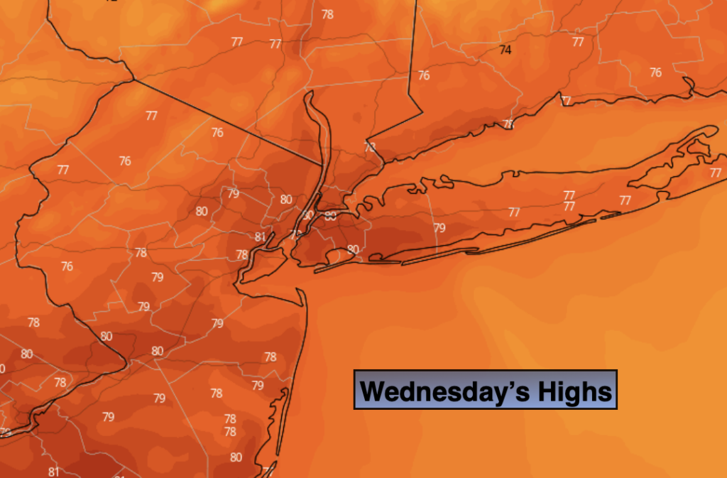
Wednesday:
Clouds and sun. Highs around 80º.