Synopsis:
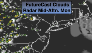
Today and Tuesday will be typical August days with hot and humid conditions. Isolated storms are possible later this afternoon and evening. Tuesday will have the greatest threat for afternoon storms as a cool front approaches. Again, both days will feature hazy sun and hot readings.
It will be much more comfortable by Wednesday with a flow out of Canada. Readings will be below the average high of 83º and the humidity will be much lower under partly sunny skies. It will almost have a fall feel. But don’t get to used to it as warmer and more humid conditions will be back by late week.
Stay Tuned.
Keep it here for a no nonsense, no hype forecast.
Today:
Hazy, hot and humid. Isolated PM Storm. Highs near 90º. Southwest winds at 5-10mph.
Tonight:
An evening isolated storm, otherwise partly cloudy, warm and muggy. Lows in the mid 70s in the City, the 60s inland. West winds at 5mph or less.
Tuesday:
Hazy, hot and humid. Scattered PM Storms. Highs near 90º.
Wednesday:
Mostly sunny, cooler and much less humid.. Highs in the lower 80s.
Thursday:
Partly sunny, warmer and more humid. An afternoon isolated storm is possible. Highs in the mid 80s.
Friday:
Hazy, warm and humid. Afternoon scattered storms are possible. Highs in the mid 80s.