Synopsis:
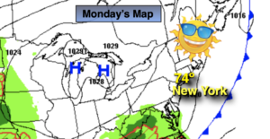
An upper level trough will move into and through the area by this afternoon. Until these features pass the region scattered showers are thunderstorms area possible. It will not be a washout today. It will be seasonable with highs in the mid 70s. The sun may shine later in the day.
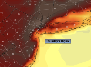
Sunday and Memorial Day will be winners! It’ll be bright with moderating temperatures as high pressure builds over the region. The holiday will have a Summer feel with readings at least ten degrees above the average high of 75º. 2 out of 3 for the Memorial Day weekend ain’t bad!
Hazy, hot and humid conditions will be with us on Tuesday as we close out the month of May.
June’s debut will feature bright, warm conditions.
Stay tuned.
Keep it here for a no hype, no nonsense forecast.
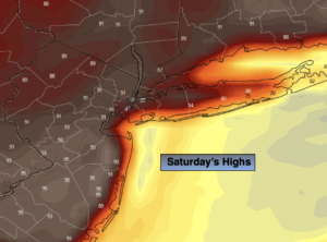
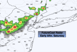
Saturday:
Clouds, some sun. Scattered showers and possible a thunderstorm during the afternoon. It will not be a washout. Highs in the mid 70s. Southwest to Northwest winds at 5-10mph.
Tonight:
Mostly clear. Lows in the low 60s in urban areas, the 50s inland. Northwest winds at 5mph.
Sunday:
Sunny. Highs around 80º.
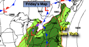
Memorial Day:
Sunny. Very warm. Highs in the upper 80s.
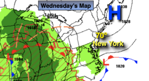
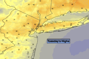
Tuesday:
Hazy, hot and humid. Highs in the lower 90s.
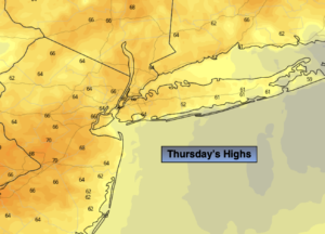
Wednesday:
Sun and clouds. Warm. Highs in the lower to mid 80s.
Catch me on the Fox Business Network from 6am-9am this weekend and on the Weather Stream until Noon. Find us on Tubi, Roku TV and YouTube TV and as always the Fox Weather App. It’s Free!