Synopsis:
The last weekend of July will be a winner as high pressure works in from the Great Lakes. It’ll be bright, warm but less humid both Saturday and Sunday. Readings will be near the average high of the mid 80s.
August’s debut on Monday will be no different with warm and bright conditions as weak high pressure moves overhead.
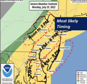
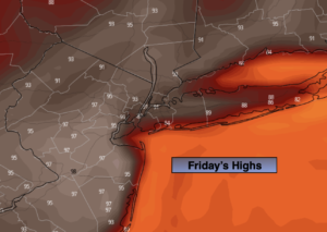
Tuesday will be more humid as a Southerly wind takes hold. Hazy and very warm conditions are expected with the threat of a late day storm.
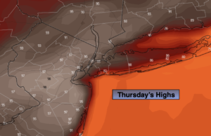
Haze, heat and humidity, aka the 3 h’s will return on Wednesday as a hot West to Southwest flow develops. We could be going into a heat wave.
Stay tuned.
Keep it here for a no hype, no nonsense forecast.
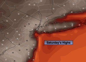
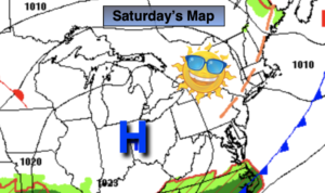
Saturday:
Mostly sunny, warm and less humid. Highs in the mid to upper 80s. Northwest winds at 5-10mph.
Tonight:
Clear. Lows around 70º in urban areas, the 50s & 60s elsewhere. North winds at 5mph.
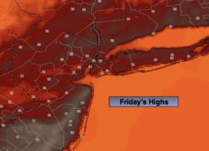
Sunday:
Sunny. Highs in the mid 80s.
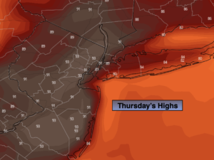
Monday:
Partly sunny. Highs in the mid 80s.
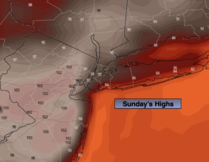
Tuesday:
Hazy, very warm and humid. Highs in the upper 80s to lower 90s.
Wednesday:
Hazy, hot and humid. Highs in the lower 90s.
Catch me on the Fox Business Network from 6am to 9am Saturday and on the Fox Weather Stream until Noon. I’ll be at the Festival of Ballooning in Readington NJ. Find us on Tubi, Roku TV and YouTube TV and as always the Fox Weather App. It’s Free!