Synopsis:
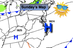
More clouds are in the forecast for today as low pressure develops over the Northeast and a cold front front approaches from the West. Scattered showers are possible. Much of the time should be dry. Readings will be near average, in the mid 60s.
Scattered showers are likely tonight as the front move through.
Tuesday through Thursday will be crisp with plenty of sunshine as a Northwest wind blows around an upper level low over the Great Lakes. Temperatures will be well below average as our first shot of unseasonably cool Canadian air moves in. Readings will be close to ten degrees below average.
High pressure will move build over the Southeast and East on Thursday. This will result in more seasonable temperatures under a bright sky.
Keep it here for a no hype, no nonsense forecast.
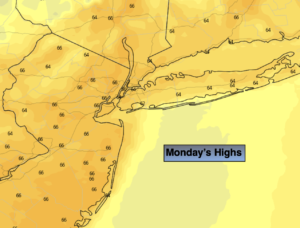
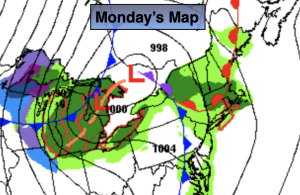
Monday:
Mostly cloudy with scattered showers. Highs in the mid 60s. South to Southwest winds at 5-10mph.
Tonight:
Mostly cloudy. Showers possible. Lows in the upper 40s in the City, the 30s & 40s elsewhere. West to Northwest winds at 5mph.
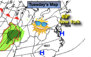
Tuesday:
Mostly sunny, breezy and cooler. Highs in the mid 50s.
Wednesday:
Mostly sunny. Highs in the mid 50s.
Thursday:
Mostly sunny. Highs in the mid 50s.
Friday:
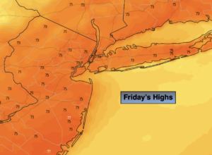
Mostly sunny. More seasonable. Highs in the lower 60s,