Synopsis:
Today will be oppressive. It’ll also be the last of the stretch of hot days we’ve been experiencing. The heat index will approach 105º in many areas. Hazy sun with scattered late day storms are in the forecast as a cool front approaches. Keep an eye to the sky for threatening weather.
Finally relief! Wednesday will feel like a different season as a refreshing airmass pushes in from the North. Temperatures will be at least ten degrees lower than today and the humidity will be much lower as well under a mix of clouds and sun.
A weak low may develop off the coast Thursday morning resulting in the possibility of scattered showers, especially for Eastern areas. Skies should become mainly sunny by afternoon. Seasonable readings are expected.
Spectacular weather is expected Friday into the weekend as high pressure moves in from the Northwest. Abundant sunshine, pleasantly warm readings and low humidity is expected. We have been rewarded!
Stay tuned.
Keep it here for a no hype, no nonsense forecast.
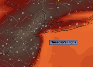
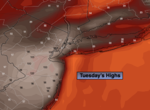
Tuesday:
Hazy, hot and humid. Heat Index near 105º in many areas. Chance of scattered late day storms. Highs in the mid 90s. Cooler along the immediate coast. West to Southwest winds at 10-20mph.
Tonight:
An evening scattered storm, otherwise partly cloudy and not was warm as recent nights. Turning less humid. Lows in the lower 70s in urban areas, the 60s North and West. Light North wind.
Wednesday:
Clouds and sun. Cooler than recent days with low humidity. Highs in the mid 80s.
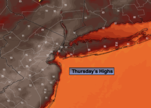
Thursday:
Morning showers possible. A mix of clouds and sun. Seasonable. Highs in the lower to mid 80s.
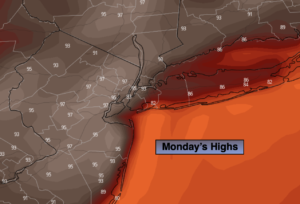
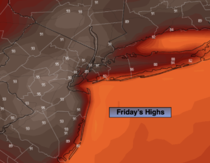
Friday:
Mostly sunny and comfortable. Highs in the lower 80s.
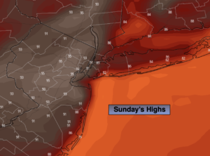
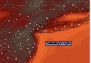
Saturday:
Sunny. Top ten day. Highs in the lower to mid 80s.
Catch me on the Fox Weather Stream from 9am-2pm on Sunday. Find us on Tubi, Roku TV and YouTube TV and as always the Fox Weather App. It’s Free!