Synopsis:
Today will be the better half of the weekend with plenty of sunshine and seasonal readings as high pressure works in.
The workweek will start off tranquil with sun giving way to clouds on Monday.
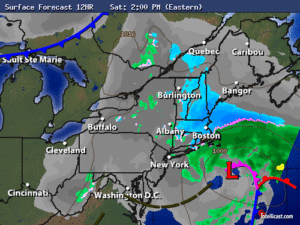
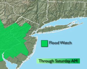
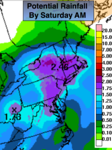
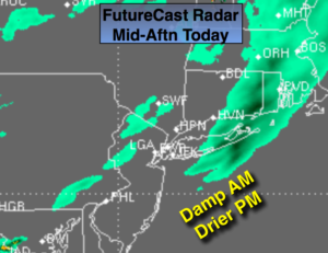
The pattern is very active with two storms on the horizon-Tuesday and Thursday. With both systems there is a potential for moderate to heavy rainfall. Flooding may become an issue.
Stay Tuned
Today:
Mostly sunny. Highs in the mid to upper 50s. Northwest wind at 10-15mph.
Tonight:
Mostly clear. Lows in the mid 40s in the City, the 30s inland. Northwest wind at 5-10mph.
Monday:
Partly sunny. Highs in the mid 50s.
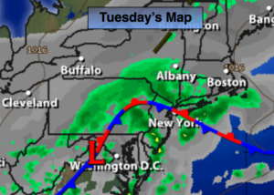
Tuesday:
Rain likely. Highs in the mid 50s.
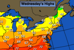
Wednesday:
Partly sunny. Highs around 60º.
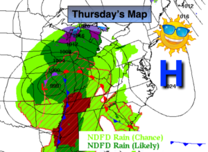
Thursday:
Becoming cloudy with rain likely by afternoon. Highs in the mid 50s.
Keep it here for a no nonsense, no hype forecast.