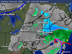
Synopsis:
The storm responsible for our heavy rain will continue moving East off the coast today. Leftover clouds and areas of drizzle will stick around through the majority of the day. If we’re lucky a peek of late day sun is possible (don’t hold your breath).
Sunday will be the better half of the weekend with plenty of sunshine and seasonal readings as high pressure works in.
The pattern is very active and another storm will approach the area Tuesday.
Stay Tuned.
Today:
Cloudy with areas of drizzle and patchy fog. Breezy. Highs in the mid and upper 40s. North wind at 15-25mph.
Tonight:
Mostly cloudy. Lows in the 30s. Northwest wind at 10-15mph.
Sunday:
Mostly sunny. Highs in the mid to upper 50s.
Monday:
Partly sunny. Highs in the mid 50s.
Tuesday:
Rain likely. Highs in the lower to mid 50s.
Wednesday:
Partly sunny. Highs around 60º.
Stay Tuned.
Keep it here for a no nonsense, no hype forecast.