Synopsis:
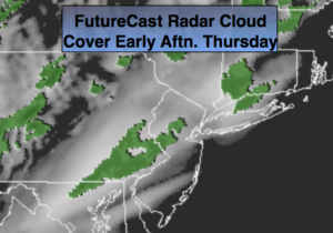
A front with a weak developing area of low pressure will move to the Eastern Seaboard today and tonight. Scattered showers will likely develop this afternoon and evening. As the colder air works in the rain will turn to snow showers or a quick period of snow overnight and end early Friday Morning. Up to a coating is possible in spots.
It will be cold to start the weekend with high pressure overhead on Saturday. An area of moisture over the Southeast with an area of low pressure looks very close to the trim-state area on Super Bowl Sunday and Monday Morning. Snow showers are possible on Sunday. The one ingredient that this scenario is lacking is cold high pressure to our North. For this reason, the snow will most likely go over to a mix or rain for many areas. This is by no means etched in stone. But high pressure is needed to support a snowstorm. All all snow event is highly unlikely at the point at the coast. Still a few days to watch this unfold.
Stay tuned.
Today:
Mostly cloudy. Scattered afternoon showers. Highs in the lower to mid 40s. Southwest winds at 5-10mph.
Tonight:
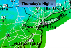
Rain will turn over to a period of snow or snow showers for a few hours. A coating is possible in spots. Lows in the upper 20s in the City, the lower to mid 20’s inland. Southwest winds at 10-15mph.
Friday:
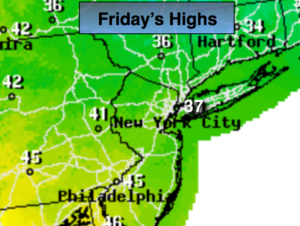
Early morning snow showers, otherwise mostly sunny. Highs around freezing.
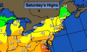
Saturday:
Sunny and cold. Highs around freezing.
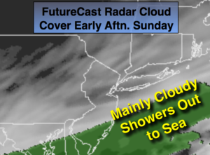
Sunday:
Mostly cloudy with a chance of snow showers. Highs near 40º.
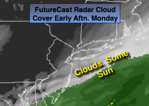
Monday:
Morning rain and or snow. The sun will return. Highs near 40º.
Keep it here for a no nonsense, no hype forecast.