Synopsis:
A stationary front stalled just to our South will be responsible for periods of rain this morning. By afternoon drier air will work down from New England giving the area a brief respite from the wet weather. In fact, if we’re lucky, the sun may make an appearance. Readings will be near seasonal averages- around 70º.
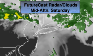
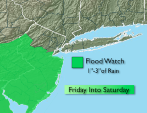
The stationary front that has been plaguing the region all week will become a warm front and move toward the area on Friday. The rain will work from South to North during the day. Areas North of the City may remain rain-free for the majority of the day (this still has to be ironed out). The ingredients are there for the potential of more heavy rain later in the day Friday and into Saturday. A Flood Watch has been posted for many areas of NJ (map above).
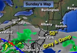
At this time the weekend looks unsettled periods of rain on Saturday and a slight chance on Sunday. Sunday looks to be the drier and warmer of the two days at this time.
Stay tuned
Today:
Periods of rain this morning. Some afternoon sun possible. Highs around 70º. Northeast winds 5mph.
Tonight:
Mostly cloudy. The majority of the night should be dry. Lows in the mid 50s throughout. Northeast winds at 5mph.
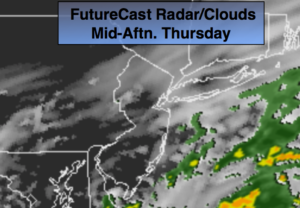
Friday:
Cloudy with periods of rain, especially from the City and to the South. Much cooler. Locally heavy rain possible later in the day and at night, especially South. Highs around 60º.
Saturday:
Cloudy with periods of rain. Highs in the lower 60s.
Sunday:
Sun and clouds with isolated showers and thunderstorms. Highs in the mid 70s.
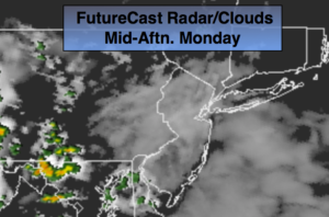
Monday:
Partly sunny. Highs near 80º.
Keep it here for a no nonsense, no hype forecast.