Synopsis:
High pressure will build in from New England today. A drier and much less humid airmass will work in. There will be more clouds than sun. A spot shower is possible during the morning. Readings will be ten degrees below the mid 70s average for the date.
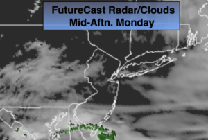
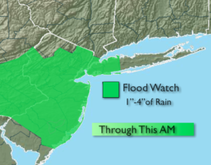
An area of low pressure will work up and off the coast tonight and Monday morning. A period of rain is tonight into early Monday morning. The sun should make an appearance during the afternoon.
The last in a series of fronts will affect the area on Tuesday with spotty afternoon showers.
The weather pattern will change for the better by midweek with pleasant readings and plenty of sun.
Stay tuned.
Today:
More clouds than sun. Much cooler and less humid. Breezy. A spot shower is possible. Highs only in the mid 60s. East winds at 10-20mph with higher gusts.
Tonight:
Periods of rain. Lows in the 50s throughout. Northeast winds at 8-15mph.
Monday:
Rain likely in the morning. Some afternoon sun. Highs in the mid 60s.
Tuesday:
Mostly cloudy. A spot shower. Highs near 70º.
Wednesday:
Partly sunny. Highs in the lower 70s.
Thursday:
Partly sunny. Highs in the mid 70s.
Keep it here for a no nonsense, no hype forecast.