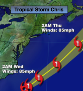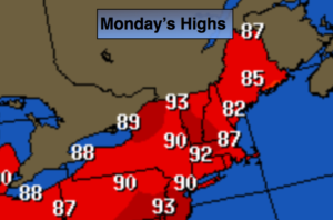
Synopsis:
The heat is back as high pressure off the coast pumps up a warm Southwest wind. The three H’s will be with us today. An isolated afternoon storm is possible. Most areas will be rain-free. A Heat Advisory is up for NYC and Northeastern NJ for a heat index of 95º-99º.
It’ll be warm and muggy tonight.
A potent cool front will move toward the area on Tuesday with scattered thunderstorms. Some of the storms maybe severe with torrential rain. It’ll still be very warm and humid.
Relief will arrive by Wednesday as a refreshing airmass moves in from Canada. Mostly sunny, warm conditions are expected through Friday.
Stay tuned.
Today:
Hazy, hot and humid. An isolated afternoon storm is possible. Highs around 90º. Southwest to South wind at 5-10mph.
Tonight:
Partly cloudy, warm and muggy. Lows in the 70s throughout. Southwest wind less than 5mph.
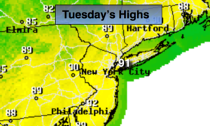
Tuesday:
Hazy, very warm and humid with scattered afternoon thunderstorms. Highs in the upper 80s.
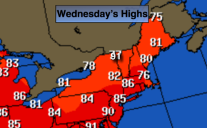
Wednesday:
Mostly sunny, warm and much less humid. Highs in the mid to upper 80s.
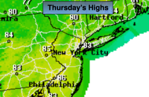
Thursday:
Sunny. Highs in the mid 80s.
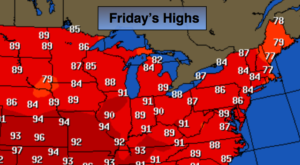
Friday:
Partly sunny. Highs in the mid 80s.
Keep it here for a no nonsense, no hype forecast.