Synopsis:
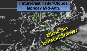
High pressure over New England will produce a wind off the ocean today. This will result in more clouds than sun. An isolated shower is possible, but most areas will remain dry. Temperatures will be several degrees below the average high of 83º.
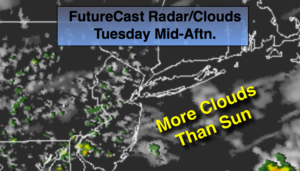
An area of low pressure and front will work in from the West Tuesday and Wednesday. Clouds will dominate both days and the threat of showers will increase by afternoon Tuesday into the first half of Wednesday. It’ll be more humid. This system will move off the coast later Wednesday with showers ending during the early afternoon.
High pressure will move in from the Midwest by late week. Sunny skies with much lower humidity is expected both Thursday and Friday. Overnight readings will have that Fall feel with readings in the 50s inland.
Today:
Clouds, some sun. An isolated showers is possible. Highs in the upper 70s. Northeast winds at 8-12mph.
Tonight:
Mostly cloudy. Lows in the upper 60s in the City, the lower 60s inland. Light East wind.
Tuesday:
Mostly Cloudy. Scattered showers most likely during the afternoon. More humid. Highs in the upper 70s.
Wednesday:
Mostly cloudy, warmer and humid. Scattered showers. Highs in the lower 80s.
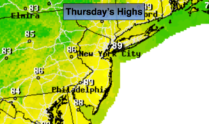
Thursday:
Mostly sunny, breezy and much less humid. Highs in the upper 70s to around 80º.
Friday:
Sunny. Highs around 80º.
Keep it here for a no nonsense, no hype forecast.