Synopsis:
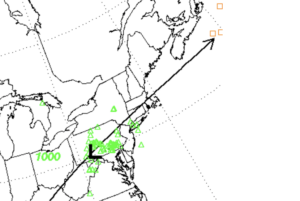
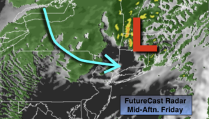
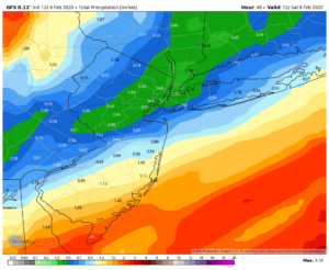
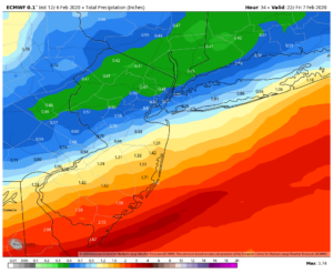
A low will move from Pennsylvania to Southern New England today. The track will be to our West. This will result in on and off rain and mild temperatures. The rain will end from West to East during the afternoon. If we’re lucky we may catch a glimpse of the sun before it sets.
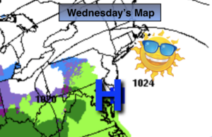
Behind the low, cold air will arrive Friday under mostly sunny skies. A semi-Arctic push of air will move in from the North. Friday night will be the coldest it’s been in some time. The weekend will be sunny as high pressure dominates. Saturday will be cold with readings hard pressed to get to freezing. Sunday will be more tolerable with temperatures rebounding into the 40s.
Presidents’ Day will be mostly sunny and mild.
Stay Tuned.
Keep it here for a no nonsense, no hype forecast.
Today:
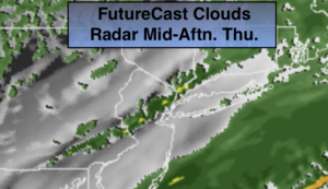
On and off rain through early to mid afternoon. Skies may brighten by late day. Mild. Highs around 50º. West to Northwest winds at 8-12mph.
Tonight:
Becoming mostly clear. Colder. Lows in the upper 20s in the City. Lower to mid 20s inland. Northwest winds increasing to 10-20mph.
Friday:
Mostly sunny, colder. Highs in the lower 30s.
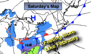
Saturday:
Sunny. Highs in the 20s to around 30º.
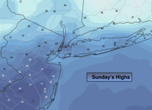
Sunday:
Partly sunny. Milder. Highs in the lower to mid 40s.
Presidents’ Day:
Mostly sunny. Mild. Highs in the upper 40s.