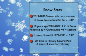
Take a look at the nightmare for snow-lovers stats:
Synopsis:
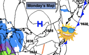
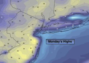
The Spring preview will continue today. Readings will soar well into the 50s. The sun will dominate much of the day.
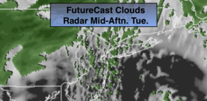
Clouds will thicken up tonight ahead of the next system moving in from the South and West.
Showers are expected Tuesday and Wednesday with an approaching front and developing low pressure system. It looks too warm for any snow as the main area of low pressure once again tracks to our West-a non frozen solution. The snow drought continues.
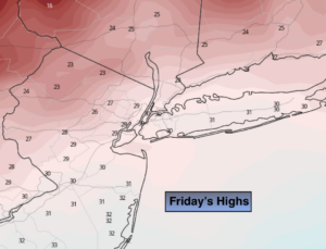
We’ll dry out on Thursday as the sun returns with a strong Northwest wind. Colder temperatures will greet us the last few days of February. March arrives next Sunday.
Stay Tuned.
Keep it here for a no nonsense, no hype forecast.
Today:
Sun to late day clouds. Mild. Highs in the mid to upper 50s. South to Southwest winds at 5-10mph.
Tonight:
Thickening clouds. Lows in the lower 40s in the City, the 30s inland. Light South to Southwest winds.
Tuesday:
Cloudy with scattered showers. Highs in the mid to upper 40s.
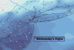
Wednesday:
Mostly cloudy with scattered showers. Highs around 50º.
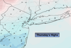
Thursday:
Partly sunny and windy. Highs in the mid 40s.
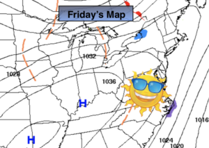
Friday:
Partly sunny. Colder. Highs in the upper 30s.