Synopsis:
A weak upper level disturbance over the Northeast will keep our skies mainly grey today. Spotty drizzle is possible from time to time, but most areas will be dry. If we’re lucky some brightening of the skies may occur this afternoon. Temperatures will be several degrees below the seasonal averages of the mid 50s.
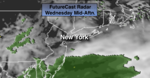
As we turn the page to April on Wednesday, a storm will be well to our South. All of the models have this system not affecting the area. A mix of clouds and some sun is expected.
High pressure will move in from the Great Lakes by the end of the week with increasing sunshine and seasonal temperatures.
Stay Tuned.
Keep it here for a no nonsense, no hype forecast.
Today:
Mostly cloudy with spotty drizzle. Highs around 50º. Northeast winds at 5-10mph.
Tonight:
Mostly cloudy. Lows in the 30s throughout. East winds less than 5-10mph.
Wednesday:
Clouds and sun. Highs in the lower 50s.
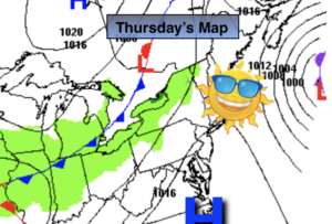
Thursday:
Partly sunny. Highs in the mid 50s.
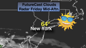
Friday:
Partly sunny. Highs in the mid to upper 50s.
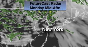
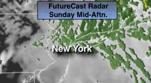
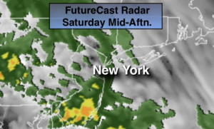
Saturday:
Sunny. Highs in the upper 50s.
***Please take “social distancing” seriously during this time. We will get through this.****