Synopsis:
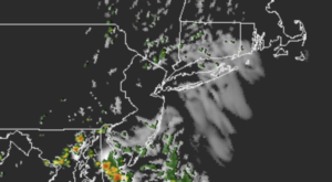
Weather systems will remain weak the next several days. The wind will blow from the South the majority of the time. This will result in quite humid conditions. Clouds mixed with the hazy sun is expected for today. Isolated afternoon showers or storms are possible.
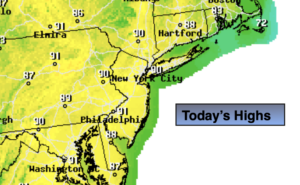
Thursday should be sunnier as a bit of drier air works in. This will also cause readings to flirt with 90º once again.
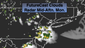
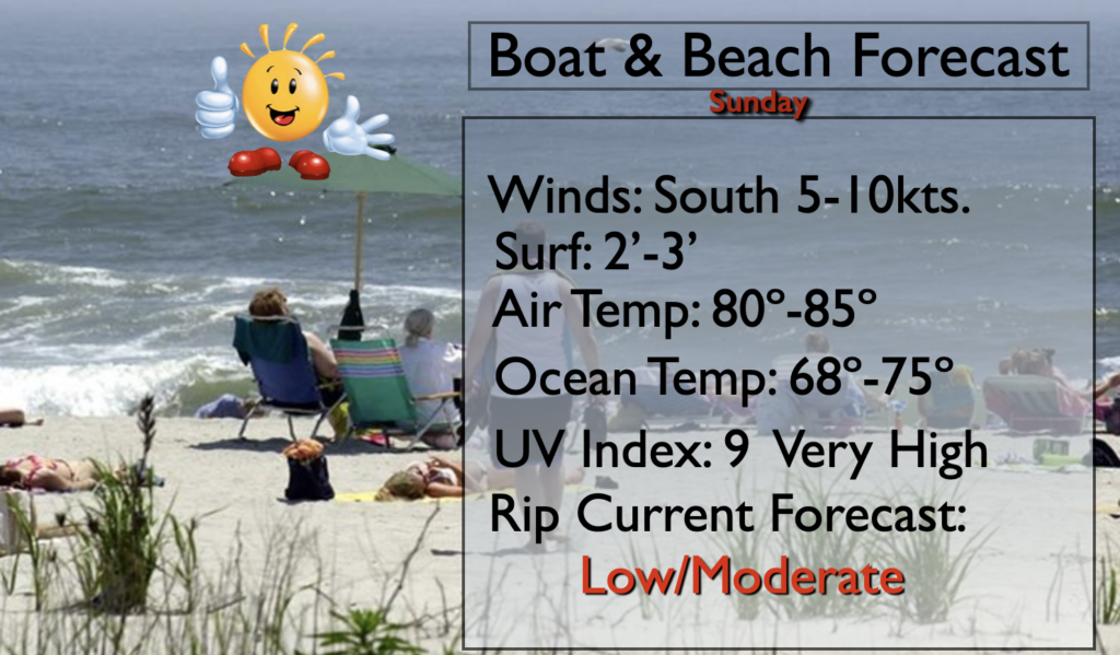
An area of low pressure will ride North from the Carolinas Friday into Saturday. This will increase our chance of showers and storms. This will be the best chance of widespread rain in quite some time for the tri-state area. Locally heavy rain is possible. The timing of the steadiest rain looks to be Friday afternoon into Saturday morning. The tropical feel will continue into the weekend. Sunday looks like the better of the two days.
Stay Tuned.
Keep it here for a no nonsense, no hype forecast.
Today:
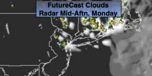
Hazy, warm and humid. Isolated afternoon showers or storms. Highs in the mid 80s. South winds at 5-10mph.
Tonight:
Partly cloudy, warm and muggy. Lows in the mid 70s in the City, the upper 60s and 70s inland. Light South winds.
Thursday:
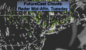
Becoming mostly sunny, hot and humid. Highs in the lower 90s.
Friday:
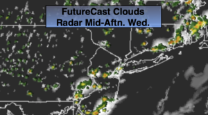
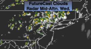
Mostly cloudy. Humid. Showers and afternoon storms. Highs in the lower 80s.
Saturday:
Mostly cloudy. Humid. Scattered showers and storms. Highs in the mid 80s.
Sunday:
Hazy, very warm and humid. Scattered afternoon showers and storms. Highs in the upper 80s.