Synopsis:
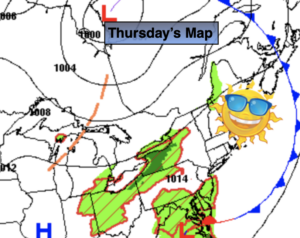
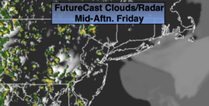
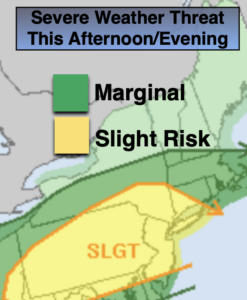
A few couple of weather systems will affect our weather today. A warm front will move through in the morning with scattered showers. Once the front moves North there should be a few hours of hazy sun and clouds. It will become quite humid. A bubble of heat will work in from the Southwest. A weak front will move toward the region later today. Scattered strong to possibly severe thunderstorms are possible during the mid to late afternoon and into the evening. There is a slight risk of severe storms (map above). Not all areas will get in on the action. Keep an eye to the sky for threatening weather after 2pm.
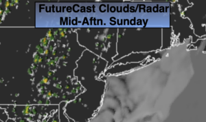
Sunday will feature a mix of sun and clouds. Spotty storms are possible later in the day with a disturbance moving through. It will be warm and humid.
It’s a familiar forecast for the beginning of the week. It’s looking dry and warm under partly sunny skies. By midweek an upper level low will influence our area from New England. This will result in not as warm conditions and also increase the threat of scattered afternoon showers or storms.
Stay Tuned.
Keep it here for a no nonsense, no hype forecast.
Today:
Scattered morning showers giving way to a mix of hazy sun and clouds. Humid. Scattered mid afternoon through early evening thunderstorms. Highs in the mid to upper 80s. Southwest winds at 10-20mph.
Tonight:
Evening scattered storms, otherwise becoming partly cloudy. Muggy and warm. Lows in the mid 70s in urban areas, the 60s inland. West winds at 5mph.
Sunday:
Partly sunny, warm and humid. Spotty PM Storms. Highs in the upper 80s.
Monday:
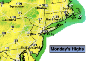
Mostly sunny. Less Humid. Highs in the upper 80s.
Tuesday:
Partly sunny. Highs in the mid 80s.
Wednesday:
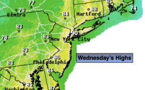
Partly sunny. Scattered PM storms. Highs in the mid 80s.