Synopsis:
High pressure over the Western Atlantic and a weakening upper level low over the Mid-Atlantic will cause a moist flow of air to ride up from the South. The result in warm temperatures and higher humidity the next several days. A mix of clouds and hazy sun is expected. Each afternoon will feature the chance of scattered showers or storms. It will not be a washout and much of the time will be dry. I am not canceling my outdoor plans this weekend!
Summer Arrives at 5:44PM EDT today. This is the exact time when the sun direct rays reach it’s most Northern Point-the Tropic of Cancer.
The beginning of next week will be typical for our season of Summer. Warm and humid conditions are expected.
Stay Tuned.
Keep it here for a no nonsense, no hype forecast.
Today:
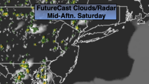
Sun and clouds. Warm and humid. Scattered PM showers/storms. Highs in the mid 80s. South winds at 5-10mph.
Tonight:
Mostly cloudy. Patchy Fog. Muggy. Lows in the 60s to around 70º in the City. South winds less than 5mph.
Father’s Day:
Sun and clouds. Warm and humid. Scattered PM showers/storms. Highs in the mid 80s.
Monday:
Sun and clouds. Warm and humid. Scattered PM showers/storms. Highs in the mid to upper 80s.
Tuesday:
Mostly sunny. Hot and humid. Highs around 90º.
Wednesday:
Hazy, hot and humid. Scattered PM showers/storms. Highs around 90º.