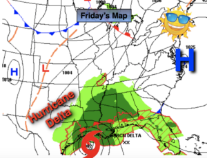
Synopsis:
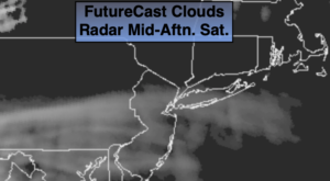
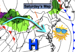
High pressure will move over the East coast this weekend resulting in abundant sunshine. There will be a nip in the air today.
Scattered Frost is possible North and West tonight.
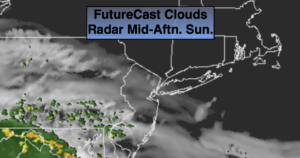
Sunday temperatures will reach seasonal levels which is in the lower 60s.
The extended forecast looks bright and mild as high pressure continues to influence our weather.
Stay Tuned.
Keep it here for a no nonsense, no hype forecast.
Today:
Sunny and chilly. Highs in the 50s to around 60º. Northwest winds at 8-15mph.
Tonight:
Clear and chilly. Scattered frost North and West. Lows in the mid to upper 40s in the urban corridor. Near 30º-35º well inland. Light and variable winds.
Sunday:
Sunny, more seasonal. Highs in the lower 60s.
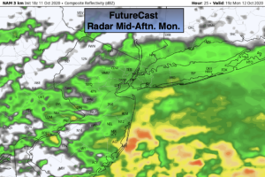
Monday:
Partly sunny. Highs in the mid 60s.
Tuesday:
Partly sunny. Highs in the mid 60s.
Wednesday:
Partly sunny. Mild. Highs in the upper 60s.