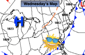
Synopsis:
High pressure over East coast will move into Western Atlantic this the weekend. This will turn our winds to the Southwest. The result will be a rise in temperatures. Today readings will get above average for the first time in days. The average high is 80º. Abundant sunshine is expected.
Temperatures will heat up on Saturday. Hazy and more humid conditions are expected. A spotty shower or thundershower is possible in the building humidity.
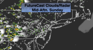
Father’s Day Sunday, which by the way is the first day of Summer, will be a winner. Sunny, warm conditions are expected. The Summer Solstice occurs at 11:32PM EDT.
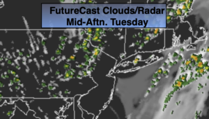
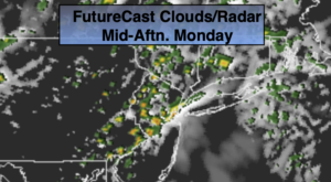
Monday and Tuesday will be steamy with hazy sun. Showers and storms are possible later in the day Tuesday with an approaching cool front.
Stay tuned.
Keep it here for a no nonsense, no hype forecast.
Today:
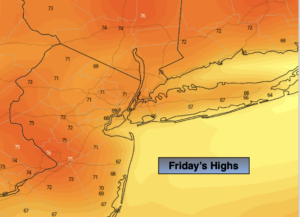
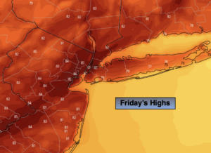
Mostly sunny. Warmer. Highs in the lower to mid 80s. Southwest winds at 10-15mph.
Tonight:
Partly cloudy. Much warmer than recent nights. Lows in the upper 60s to around 70º in urban areas, the lower 60s inland. Southwest winds less than 5mph.
Saturday:
Hazy sun, very warm and humid with spotty showers or thundershowers. The majority of the time the weather will cooperate. Highs in the upper 80s.
Father’s Day:
Sunny, very warm and humid. Highs in the upper 80s.
Monday:
Steamy with hazy sun. Highs around 90º.
Tuesday:
Steamy with hazy sun. Scattered late day storms possible. Highs around 90º.