Synopsis:
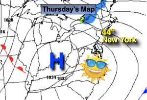
Sunny, chilly conditions will be the story for today as high pressure moves off the coast. Today’s highs will be a few degrees below average (the average high is 49º).
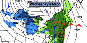
A few hours of rain is expected Saturday as a cold front approaches. Its looks like the timeframe will be midmorning through midday. The sun will return for the afternoon. It’ll be a mild with readings almost ten degrees above average.
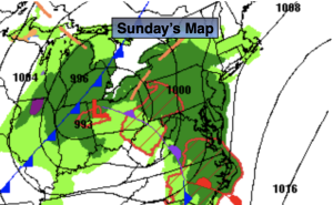
Sunday will be the brighter half of the weekend with sunny skies and chilly readings as another high pressure system works in. A sunny, seasonable start to the workweek is anticipated for Monday.
A front will move in from the West on Tuesday. Ahead of it mild air will be brought up from the South. Showers are likely.
Stay tuned.
Keep it here for a no hype, no nonsense forecast.
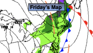
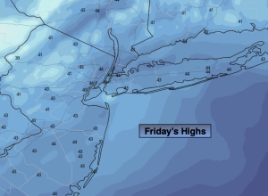
Friday:
Sunny. Chilly. Highs in the mid 40s. South winds at 5-10mph.
Tonight:
Increasing clouds. Much milder than last night. Lows in the mid 40s in the City, the 30s inland. South winds at 5-10mph.
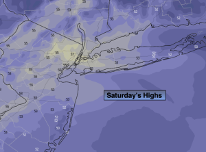
Saturday:
A period of rain likely through midday. Afternoon sun. Mild. Highs in the mid to upper 50s.
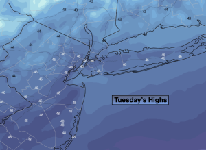
Sunday:
Sunny. Cooler. Highs in the mid 40s.
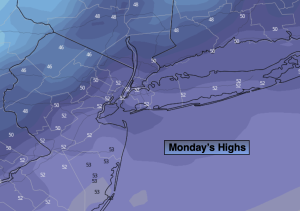
Monday:
Sunny. Seasonable. Highs in the upper 40s.
Tuesday:
Mostly cloudy with showers. Mild. Highs in the mid 50s.