Synopsis:
It’ll become hot and increasingly more humid going through the holiday week as high pressure builds between the Mid-Atlantic coast and Bermuda. This setup brings the typical heat and humidity in July. Hazy skies are expected through Saturday.
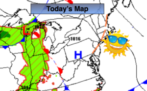
There will be a few chances of late afternoon and evening storms. The first being later today as a trough of low pressure works through. Some of the storms maybe strong. Keep an eye to the sky for threatening weather after 3PM. The 4th of July at this time looks to be storm free. The next threat of scattered afternoon storms will be Friday and Saturday. By no means will it be a washout.
Stay tuned.
Keep it here for a no nonsense, no hype forecast.
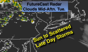
Today:.
Sun to scattered late day storms. More humid by afternoon. Highs in the upper 80s. West winds at 5-10mph.
Tonight:
Scattered evening storms, otherwise partly cloudy and muggy. Lows in the lower 70s in the City, the 60s inland. West winds under 5mph.
Wednesday:.
Hazy, very warm and humid. Highs in the upper 80s.
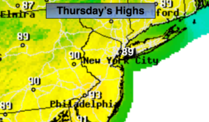
4th of July:.
Hazy, very warm and humid. Highs in the upper 80s.
Friday:
Hazy, very warm and humid. A spotty PM Storm is possible. Highs in the upper 80s.
Saturday:
Hazy, hot and humid. Scattered afternoon storms. Highs around 90º.